India features mountains, plains, plateaus, deserts, and coastal areas.
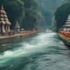
Includes Ganges, Yamuna, Brahmaputra, Godavari, and Krishna among others.
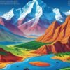
Himalayas, Western and Eastern Ghats, Aravallis, and Vindhyas are key ranges.
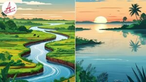
From tropical in the south to alpine in the north.
India connects South Asia to the Indian Ocean and serves as a geopolitical hub.
Introduction
Indian geography plays a crucial role in shaping its culture, economy, and politics. Understanding its physical features and climatic diversity is essential for competitive exams.
Physical Features
- Mountain Ranges: The mighty Himalayas in the north, Western and Eastern Ghats along the coasts, and the Aravalli range in the west.
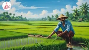
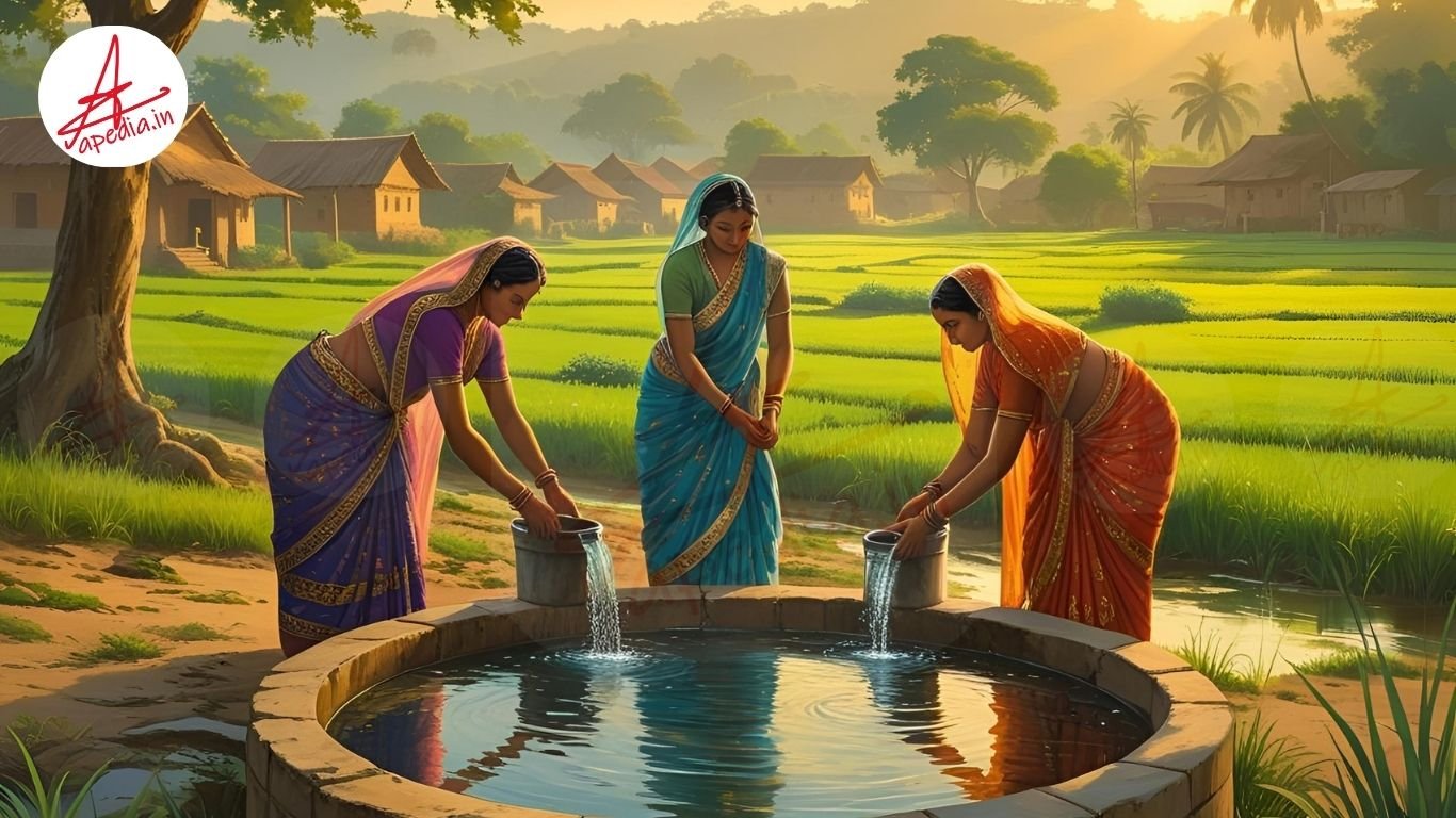
- Plains: The vast Indo-Gangetic plains support dense populations and agriculture.
- Plateaus: The Deccan Plateau dominates southern India.
- Deserts: The Thar Desert is located in Rajasthan.
- Coastal Areas: India has a long coastline with major ports and beaches.
Major Rivers and Drainage
Important river systems include the Ganges-Brahmaputra-Meghna basin, the Godavari, Krishna, and Cauvery rivers. These rivers support agriculture and are culturally significant.
Climatic Zones
India experiences diverse climate zones — tropical in the south, arid in the west, and alpine in the Himalayas. Monsoon rains are vital for agriculture.
Significance for Exams
Questions often focus on physical geography, river systems, climate, and natural resources. A clear grasp helps in general studies, geography, and current affairs sections.
Conclusion
Mastering Indian geography provides a strong foundation for competitive exams and enhances understanding of India’s natural wealth and challenges.